Best snorkeling in the Caribbean: 15 islands ranked
Fifteen Caribbean islands ranked for snorkeling, with the best shore and boat spots on each, when to go, cruise-day tips and the sunscreen rules that apply.
Some links are affiliate links: if you book or buy through them we may earn a commission at no extra cost to you. How this works.
On this page
The Caribbean has calm, warm water nearly everywhere, but the snorkeling varies more than you might expect. Some islands have healthy reefs a few steps from the sand; others have beautiful beaches and very little to see underwater. We ranked 15 islands by what you can actually see from the surface, how easy it is to reach on your own, and how reliable conditions are.
Map of the best Caribbean snorkel spots
The ranking
| # | Island | Best for | Shore or boat |
|---|---|---|---|
| 1 | Bonaire | Do-it-yourself shore snorkeling | Shore |
| 2 | Belize | Sharks, rays, the barrier reef | Boat |
| 3 | Cozumel | Drift snorkels, turtles | Both |
| 4 | Turks and Caicos | Clear water, beginners | Both |
| 5 | St. John | National park beaches | Shore |
| 6 | St. Croix | Buck Island, the Frederiksted pier | Both |
| 7 | Roatán | Reef right off the beach | Shore |
| 8 | Grand Cayman | Stingray City | Both |
| 9 | Aruba | Shipwrecks | Both |
| 10 | Curaçao | Turtles from the beach | Shore |
| 11 | Cancún and Riviera Maya | Turtles, cenotes, whale sharks | Both |
| 12 | Puerto Rico | Culebra and Vieques | Shore |
| 13 | British Virgin Islands | Sailing and snorkeling | Boat |
| 14 | Bahamas | Exuma cays | Boat |
| 15 | St. Lucia | Reef wall at Anse Chastanet | Shore |
1–5: the best Caribbean islands for snorkeling
Bonaire
Caribbean Netherlands
- Level
- 1 of 5
- Entry
- Shore, everywhere
- Depth
- 3–40 ft
- Visibility
- 60–100 ft
- Best months
- Year-round
- Facilities
- Varies by site
- Fees and permits
- Marine park tag required
- What you'll see
- Healthy reef, frogfish, turtles, tarpon
How to get there
Rent a pickup and drive to the yellow-painted stones that mark shore sites along the west coast. Buy the marine park tag before you snorkel.
12.150° N, 68.270° WDirections
Belize (Hol Chan and Shark Ray Alley)
Ambergris Caye and Caye Caulker
- Level
- 2 of 5
- Entry
- Boat only
- Depth
- 5–30 ft
- Visibility
- 50–80 ft
- Best months
- March to June
- Facilities
- On the boat
- Fees and permits
- Reserve fee
- What you'll see
- Nurse sharks, stingrays, turtles, eagle rays
How to get there
Half-day boats from San Pedro or Caye Caulker. See our Belize guide.
17.860° N, 87.970° WDirections
Cozumel
Mexico
- Level
- 2 of 5
- Entry
- Shore and boat
- Depth
- 5–40 ft
- Visibility
- 80–100 ft+
- Best months
- March to July
- Facilities
- Beach clubs
- Fees and permits
- Marine park fee on boat tours
- What you'll see
- Turtles, eagle rays, coral towers
How to get there
Ferry from Playa del Carmen or arrive by cruise ship. See our Cozumel guide.
20.420° N, 86.990° WDirections
Turks and Caicos
Providenciales
- Level
- 1 of 5
- Entry
- Shore and boat
- Depth
- 3–25 ft
- Visibility
- 60–100 ft
- Best months
- Year-round
- Facilities
- Public beach accesses
- Fees and permits
- Free from shore
- What you'll see
- Turtles, eagle rays, coral heads
How to get there
Smith's Reef and Bight Reef are off Grace Bay. See our Turks and Caicos guide.
21.797° N, 72.217° WDirections
St. John
US Virgin Islands
- Level
- 1 of 5
- Entry
- Shore, sandy
- Depth
- 3–25 ft
- Visibility
- Good
- Best months
- Year-round
- Facilities
- National park beaches
- Fees and permits
- Day-use fee at Trunk Bay
- What you'll see
- Turtles, rays, reef fish
How to get there
Ferry from Red Hook on St. Thomas. See our St. Thomas and St. John guide.
18.350° N, 64.770° WDirections
6–10
St. Croix (Buck Island)
US Virgin Islands
- Level
- 2 of 5
- Entry
- Boat and shore
- Depth
- 3–30 ft
- Visibility
- 50–80 ft
- Best months
- Year-round
- Facilities
- On the boat
- Fees and permits
- Park fee on tours
- What you'll see
- Elkhorn coral, turtles, seahorses at Frederiksted Pier
How to get there
Boats from Christiansted and Green Cay Marina. See our St. Croix guide.
17.790° N, 64.620° WDirections
Roatán
Bay Islands, Honduras
- Level
- 1 of 5
- Entry
- Shore and boat
- Depth
- 3–30 ft
- Visibility
- 50–100 ft
- Best months
- March to August
- Facilities
- West Bay beach clubs
- Fees and permits
- Marine park donation
- What you'll see
- Healthy reef walls close to shore, turtles
How to get there
Flights and cruise ships to Roatán. West Bay and West End have reef right off the beach. See our Roatán guide.
16.270° N, 86.600° WDirections
Grand Cayman
Cayman Islands
- Level
- 1 of 5
- Entry
- Shore and boat
- Depth
- 3–20 ft
- Visibility
- 80–100 ft
- Best months
- Year-round
- Facilities
- Beach clubs
- Fees and permits
- Tour price
- What you'll see
- Stingray City sandbar, Cemetery Reef, Eden Rock
How to get there
Stingray City trips leave from the north sound; shore spots are along Seven Mile Beach and George Town.
19.360° N, 81.380° WDirections
Aruba
Dutch Caribbean
- Level
- 2 of 5
- Entry
- Shore and boat
- Depth
- 5–60 ft
- Visibility
- 40–80 ft
- Best months
- Year-round
- Facilities
- Beach bars at Boca Catalina
- Fees and permits
- Free from shore
- What you'll see
- Antilla shipwreck, parrotfish, squid
How to get there
Boca Catalina and Arashi are on the northwest coast north of Palm Beach. See our Aruba guide.
12.580° N, 70.050° WDirections
Curaçao
Dutch Caribbean
- Level
- 1 of 5
- Entry
- Shore
- Depth
- 3–30 ft
- Visibility
- 60–100 ft
- Best months
- Year-round
- Facilities
- Beach clubs
- Fees and permits
- Some beaches charge entry
- What you'll see
- Turtles at Playa Grandi, Tugboat wreck
How to get there
Rent a car and head to the west coast beaches (Playa Grandi, Playa Lagun, Cas Abao). Tugboat wreck is near Caracasbaai.
12.350° N, 69.150° WDirections
11–15
Cancún and Riviera Maya
Mexico
- Level
- 1 of 5
- Entry
- Shore and boat
- Depth
- 3–20 ft
- Visibility
- Good
- Best months
- Year-round
- Facilities
- Varies
- Fees and permits
- Reserve fees
- What you'll see
- Turtles at Akumal, whale sharks June–September, cenotes
How to get there
Highway 307 south of Cancún reaches Puerto Morelos, Akumal and the cenotes. See our Cancún guide.
20.390° N, 87.310° WDirections
Puerto Rico (Culebra)
Spanish Virgin Islands
- Level
- 1 of 5
- Entry
- Shore, sandy
- Depth
- 3–25 ft
- Visibility
- Good
- Best months
- March to August
- Facilities
- At Flamenco Beach
- Fees and permits
- Free
- What you'll see
- Turtles at Tamarindo, reef fish at Carlos Rosario
How to get there
Ferry or short flight from Ceiba on the main island. See our Puerto Rico guide.
18.320° N, 65.320° WDirections
British Virgin Islands (The Baths and The Indians)
BVI
- Level
- 2 of 5
- Entry
- Boat and shore
- Depth
- 5–40 ft
- Visibility
- Good
- Best months
- December to June
- Facilities
- At The Baths
- Fees and permits
- National park fee
- What you'll see
- Granite boulders, reef walls, schooling fish
How to get there
Day sails from Tortola or charter boats. Ferries connect to Virgin Gorda for The Baths.
18.430° N, 64.450° WDirections
Bahamas (Exumas)
Bahamas
- Level
- 2 of 5
- Entry
- Boat
- Depth
- 3–30 ft
- Visibility
- 60–100 ft
- Best months
- March to June
- Facilities
- On the boat
- Fees and permits
- Tour price
- What you'll see
- Thunderball Grotto, nurse sharks at Compass Cay
How to get there
Day trips from Nassau by speedboat or flights to Great Exuma. Exuma Cays Land and Sea Park rules apply.
24.180° N, 76.450° WDirections
St. Lucia (Anse Chastanet)
St. Lucia
- Level
- 2 of 5
- Entry
- Shore, sandy
- Depth
- 5–40 ft
- Visibility
- Good
- Best months
- December to May
- Facilities
- Resort beach
- Fees and permits
- Marine reserve fee
- What you'll see
- Reef wall close to shore, Pitons backdrop
How to get there
Near Soufrière on the southwest coast, reached by a steep road or water taxi.
13.860° N, 61.080° WDirections
Tours worth booking
| Tour | Leaves from | Time | Group | From | Book |
|---|---|---|---|---|---|
| Grace Bay half-day snorkelViator: Iguana Island and reef | Providenciales, Turks and Caicos | 4 h | Group | $125 | Check availability |
| Antilla shipwreck and Catalina Bay sailViator: shipwreck plus open bar | Aruba | About 3 h | Catamaran | $79 | Check availability |
| Hol Chan and Shark Ray AlleyGetYourGuide: sharks and rays | San Pedro, Belize | 3 h | Small boat | $79 | Check availability |
| Palancar, Columbia and El CieloViator: three reefs and the sandbar | Cozumel | About 4 h | Boat | $65 | Check availability |
| Buck Island private charterViator: private, park fees included | St. Croix | Half day | Up to 6 | — | Check availability |
When to go
- December to April: dry season and peak prices. Trade winds can churn up north and east coasts, but west coasts (Bonaire, Curaçao, Cozumel's west side) stay calm.
- May to early June: often the sweet spot, with calm seas, warm water and lower prices.
- June to November: hurricane season. Most days are fine, but storms can close reefs for days. Book flexible tours and travel insurance.
Snorkeling on a cruise day
Cruise passengers can still get excellent snorkeling. The best options are close to the pier: Paradise Beach and the El Cielo sandbar in Cozumel, the West Bay reef on Roatán, Coki Beach on St. Thomas and Eden Rock in George Town, Grand Cayman. Choose tours that return at least an hour before all-aboard time.
Rules and etiquette
- Sunscreen: the US Virgin Islands ban oxybenzone, octinoxate and octocrylene sunscreens; Aruba and Bonaire also restrict them. Use a mineral sunscreen everywhere. See best reef-safe sunscreen.
- Marine park fees: Bonaire, Belize, Cozumel and Roatán charge reef fees, usually through your tour.
- Do not feed fish or touch rays, even where operators do. Stingray City and Shark Ray Alley animals are used to boats; keep your hands to yourself.
Gear for a Caribbean trip
Most tours supply masks and fins, but your own mask fits better and is cleaner. A compact set with short fins packs easily; see best snorkel sets. For drift snorkels in Cozumel and Belize, a snorkel vest helps weaker swimmers relax.
Questions people ask
Which Caribbean island has the best snorkeling?
When is the best time to snorkel in the Caribbean?
Can I snorkel on a cruise stop?
Do I need reef-safe sunscreen in the Caribbean?
Keep reading
 WorldwideBest places to snorkel in the world: 25 bucket-list spots
 CaribbeanBelize snorkeling: Hol Chan, Shark Ray Alley and Caye Caulker
 CaribbeanCozumel snorkeling: Palancar, El Cielo and the best reefs from shore
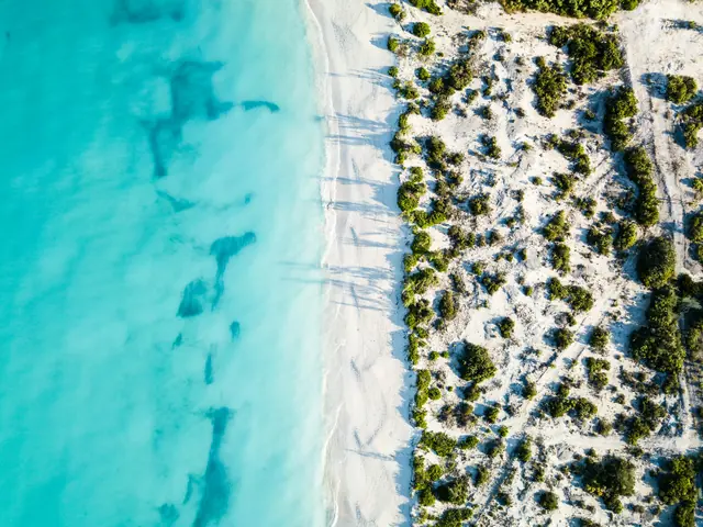 CaribbeanTurks and Caicos snorkeling: best reefs from shore and top boat tours
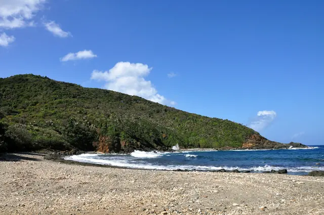 CaribbeanSnorkeling St. Croix: Buck Island, Frederiksted Pier and 8 more spots
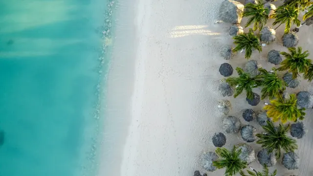 CaribbeanAruba snorkeling: Antilla shipwreck, Boca Catalina and the best tours