Snorkeling St. Thomas and St. John: best beaches, turtles and boat trips
The best snorkeling on St. Thomas and St. John, from Coki Beach and Secret Harbour to Trunk Bay's underwater trail and the turtles of Maho Bay, with ferry and taxi tips.
Some links are affiliate links: if you book or buy through them we may earn a commission at no extra cost to you. How this works.
On this page
St. Thomas is the busy one: cruise ships, duty-free shopping and a few excellent snorkel beaches on the East End. St. John, a 20-minute ferry ride away, is the opposite: most of it is Virgin Islands National Park, with quiet bays, turtles and some of the best shore snorkeling in the Caribbean.
Map of St. Thomas and St. John snorkel spots
St. Thomas
Most of St. Thomas's good snorkeling is on the East End, near Red Hook, which is also where ferries leave for St. John.
Coki Beach
East End, St. Thomas
- Level
- 1 of 5
- Entry
- Shore, sandy
- Depth
- 3–25 ft
- Visibility
- Good
- Best months
- Year-round
- Facilities
- Rentals, bars, lockers
- Fees and permits
- Free; paid parking
- What you'll see
- Huge numbers of reef fish, coral along the right side
How to get there
Next to Coral World Ocean Park on the East End. Busy on cruise days; go early. Watch your belongings.
18.350° N, 64.863° WDirections
Secret Harbour
East End, St. Thomas
- Level
- 1 of 5
- Entry
- Shore, sandy
- Depth
- 3–20 ft
- Visibility
- Good
- Best months
- Year-round
- Facilities
- Resort beach bar
- Fees and permits
- Free
- What you'll see
- Reef along the left side, rays, octopus
How to get there
Public access through the Secret Harbour resort parking. Calm and quiet; snorkel the rocks to the left.
18.318° N, 64.854° WDirections
Sapphire Beach
East End, St. Thomas
- Level
- 2 of 5
- Entry
- Shore, sandy
- Depth
- 3–25 ft
- Visibility
- Good
- Best months
- Year-round
- Facilities
- Resort, rentals
- Fees and permits
- Free
- What you'll see
- Reef fish, turtles near the point
How to get there
Near Red Hook. Snorkel the reef toward Pettyklip Point on the right side.
18.334° N, 64.849° WDirections
Hull Bay
North Shore, St. Thomas
- Level
- 2 of 5
- Entry
- Shore, sandy
- Depth
- 3–20 ft
- Visibility
- Good in summer
- Best months
- May to October
- Facilities
- Beach bar
- Fees and permits
- Free
- What you'll see
- Reef fish along the west rocks
How to get there
North of Charlotte Amalie over the hill past Magens Bay. Gets north swell in winter.
18.373° N, 64.951° WDirections
St. John
On St. John, the North Shore Road links a string of national park beaches. Taxis (open-air safari trucks) run from Cruz Bay, or rent a jeep. Parking at popular beaches fills by mid-morning.
Trunk Bay
Virgin Islands National Park, St. John
- Level
- 1 of 5
- Entry
- Shore, sandy
- Depth
- 3–20 ft
- Visibility
- Good
- Best months
- Year-round
- Facilities
- Restrooms, showers, snack bar, lifeguard
- Fees and permits
- National park day-use fee
- What you'll see
- Underwater snorkel trail around Trunk Cay
How to get there
About 10 minutes by taxi from Cruz Bay on North Shore Road.
18.353° N, 64.770° WDirections
Cinnamon Bay
Virgin Islands National Park, St. John
- Level
- 1 of 5
- Entry
- Shore, sandy
- Depth
- 3–20 ft
- Visibility
- Good
- Best months
- Year-round
- Facilities
- Restrooms, campground
- Fees and permits
- Free
- What you'll see
- Reef around Cinnamon Cay, turtles
How to get there
North Shore Road east of Trunk Bay. Snorkel to the right around the small cay.
18.356° N, 64.754° WDirections
Maho Bay
St. John
- Level
- 1 of 5
- Entry
- Shore, sandy
- Depth
- 2–12 ft
- Visibility
- Good
- Best months
- Year-round
- Facilities
- Food trucks, restrooms
- Fees and permits
- Free
- What you'll see
- Green sea turtles grazing sea grass, rays
How to get there
Right beside North Shore Road. Parking along the road. Swim over the sea grass to find turtles.
18.358° N, 64.744° WDirections
Waterlemon Cay (Leinster Bay)
St. John
- Level
- 2 of 5
- Entry
- Shore after a short hike
- Depth
- 3–30 ft
- Visibility
- Good
- Best months
- Calm days
- Facilities
- Restrooms at the Annaberg lot
- Fees and permits
- Free
- What you'll see
- Starfish on the sand, healthy reef, rays, turtles
How to get there
Park by the Annaberg Sugar Plantation ruins and walk the flat Leinster Bay trail (about 20 minutes). Swim out to the cay and around it; currents can run on the far side.
18.367° N, 64.722° WDirections
Haulover Bay
East End, St. John
- Level
- 2 of 5
- Entry
- Shore, rocky
- Depth
- 3–30 ft
- Visibility
- Excellent
- Best months
- Calm days
- Facilities
- None
- Fees and permits
- Free
- What you'll see
- Coral, reef fish
How to get there
Short trail off Route 10 near Coral Bay. Rocky beach; reef shoes help.
18.348° N, 64.677° WDirections
Salt Pond Bay
South St. John
- Level
- 1 of 5
- Entry
- Shore, sandy
- Depth
- 3–25 ft
- Visibility
- Good
- Best months
- Year-round
- Facilities
- Restrooms
- Fees and permits
- Free
- What you'll see
- Reef on both sides, rays, turtles
How to get there
Off Route 107 south of Coral Bay, then a 10-minute downhill walk.
18.308° N, 64.705° WDirections
Boat trips
Day sails from St. Thomas visit Honeymoon Beach on Water Island, Turtle Cove on Buck Island (the St. Thomas one, not to be confused with Buck Island off St. Croix) and St. John's north shore.
| Tour | Leaves from | Time | Group | From | Book |
|---|---|---|---|---|---|
| All US Virgin Islands toursViator: Honeymoon Beach and turtle trips | St. Thomas and St. John | Varies | Varies | — | See all tours |
| Catamaran snorkel toursGetYourGuide: Little Buck Island and Turtle Cove | St. Thomas | Half day | Catamaran | $119 | See all tours |
Getting around
- Red Hook to Cruz Bay: passenger ferry about every hour, around 20 minutes.
- Charlotte Amalie to Cruz Bay: a few ferries a day, around 45 minutes.
- Car barge: from Red Hook to Cruz Bay if you rent on St. Thomas (check the rental agreement allows it).
- Taxis on both islands charge per person per destination. Agree the fare before you go.
Rules
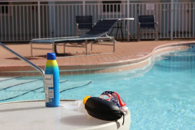
- Sunscreen: the USVI bans sunscreens containing oxybenzone, octinoxate and octocrylene. See best reef-safe sunscreen.
- National park rules on St. John: do not touch coral, collect shells or feed fish. Anchoring is regulated.
- Turtles: keep your distance and do not chase them.
Heading to St. Croix too? See snorkeling St. Croix.