Roatán snorkeling: West Bay, West End and cruise-day tips
Where to snorkel on Roatán: West Bay's reef off the beach, Half Moon Bay and Blue Channel in West End, plus marine park rules, cruise-day timing and getting around.
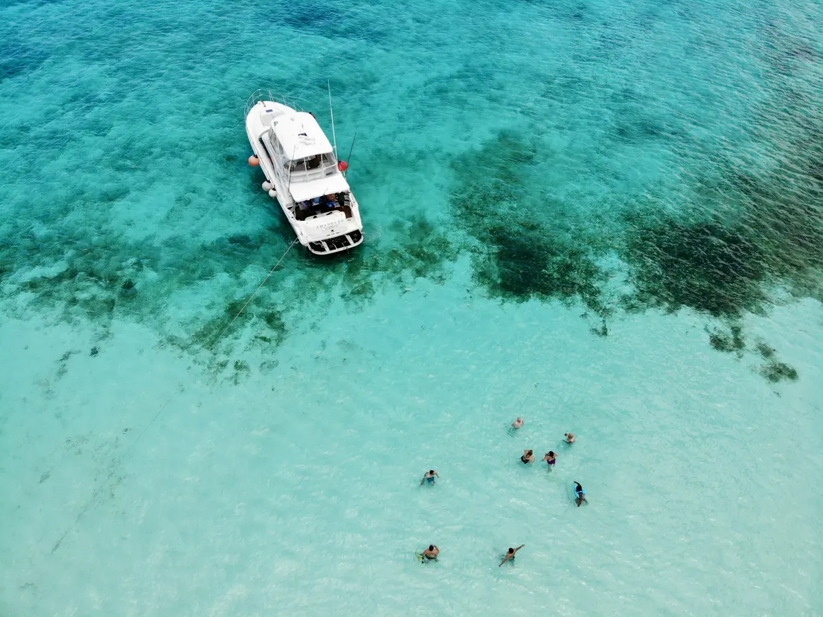
Roatán, the largest of Honduras's Bay Islands, sits on the Mesoamerican Reef, and on the west end the reef comes almost up to the beach. That makes it one of the best islands in the Caribbean for snorkeling without a boat, and a favorite cruise stop.
Map of Roatán snorkel spots
West Bay
West Bay Beach (south end)
West tip of Roatán
- Level
- 1 of 5
- Entry
- Shore, sandy
- Depth
- 3–30 ft
- Visibility
- 50–100 ft
- Best months
- March to August
- Facilities
- Beach clubs, rentals
- Fees and permits
- Marine park wristband
- What you'll see
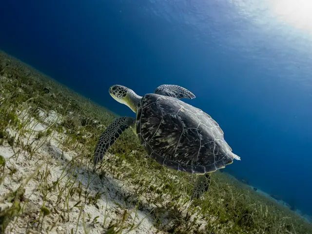
- Healthy reef close to shore, turtles, rays
How to get there
Taxi or water taxi from West End. Walk to the south (left) end of the beach near the rocks; the reef starts just offshore.
16.270° N, 86.600° WDirections
West Bay is a long, white beach lined with resorts and beach clubs. The best snorkeling is at the south end, near the rocks, where the reef starts in shallow water and drops away a short swim out. Mornings are calm and quieter before cruise groups arrive.
West End
Half Moon Bay
West End
- Level
- 1 of 5
- Entry
- Shore, sandy
- Depth
- 3–20 ft
- Visibility
- Good
- Best months
- Year-round, calm days
- Facilities
- Restaurants, dive shops
- Fees and permits
- Marine park wristband
- What you'll see
- Reef on both points, reef fish
How to get there
Walk from anywhere in West End village. Snorkel along either point of the small bay.
16.307° N, 86.596° WDirections
Blue Channel
West End
- Level
- 2 of 5
- Entry
- Shore, from the beach
- Depth
- 5–40 ft
- Visibility
- Good
- Best months
- Calm days
- Facilities
- Nearby
- Fees and permits
- Marine park wristband
- What you'll see
- Channel cut through the reef, larger fish
How to get there
At the south end of West End village. Watch for boat traffic in the channel; tow a float if you can.
16.295° N, 86.598° WDirections
Sandy Bay
Between West End and Coxen Hole
- Level
- 2 of 5
- Entry
- Shore
- Depth
- 3–30 ft
- Visibility
- Good
- Best months
- Calm days
- Facilities
- Limited
- Fees and permits
- Wristband
- What you'll see
- Reef fish, coral
How to get there
Quieter stretch of coast with reef off several small beaches. Access via local resorts or dive shops.
16.330° N, 86.565° WDirections
West End is a laid-back village of dive shops and bars. Half Moon Bay is the easy option; Blue Channel is deeper and better but has boat traffic.
Cruise-day timing
- Mahogany Bay and Coxen Hole are both about 30 minutes by taxi from West Bay.
- Agree the taxi fare before you go, and arrange the return trip.
- Allow at least an hour of buffer before all-aboard time.
- Beach clubs offer day passes with chairs, lockers and snorkel rental.
Rules and tips
- Buy the marine park wristband; it funds moorings and reef patrols.
- Do not stand on coral in the shallows at West Bay.
- Boat traffic: stay inside marked swim areas and tow a float in channels.
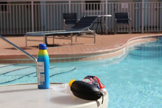
- Sunscreen: use mineral, reef-safe sunscreen. See best reef-safe sunscreen.
Comparing islands? See the best snorkeling in the Caribbean.